Wilson River Trail from Keenig Creek
to Jones Creek Campground
Difficulty: Moderate
Suggested Skill Level: Intermediate to Advanced
Trailhead longitude and latitude: 45 32 46N, 123 36 26W
Google Trail Head Location
 Google Directions From Portland
Description of Ride:
Wilson River Trail from Keenig Creek to Jones Creek Campground
I started by skipping the big 1.6 mile climb with 800 foot elevation gain. I had my wife drop me off where the trail crossed the road.
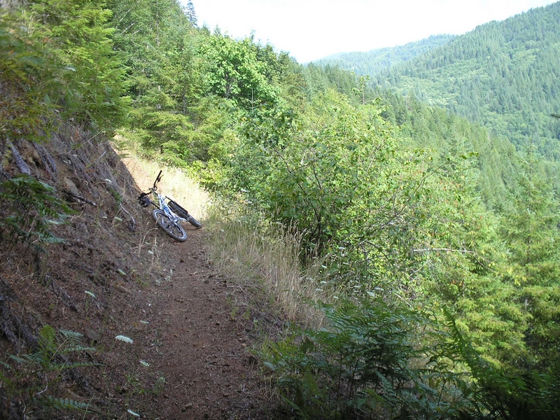
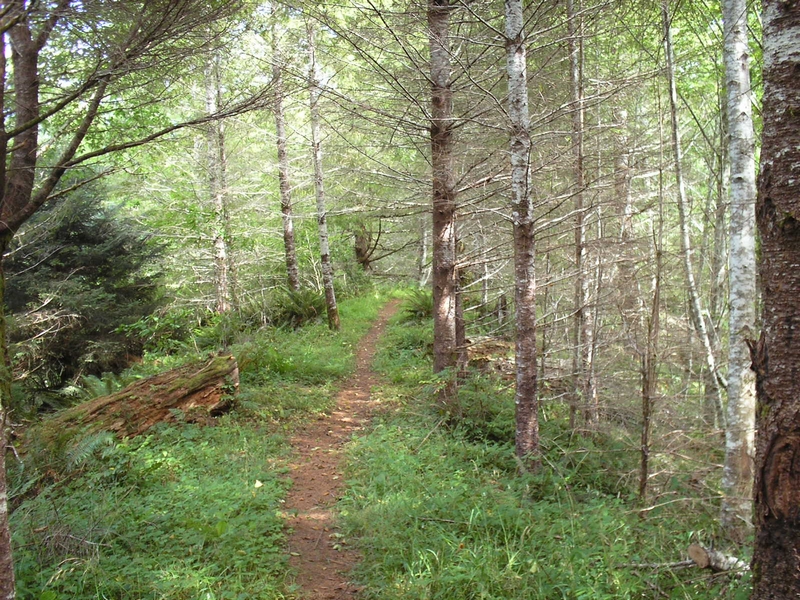
The first 3/4 mile was mostly level forest single track with a small climb. Then the trail started traversing a very radically sloped hill side. If this were a ski slope it would be a double black diamond.
The trail had a lot of short climbs and descents maintaining the same approximate elevation as it crossed ridge after ridge.
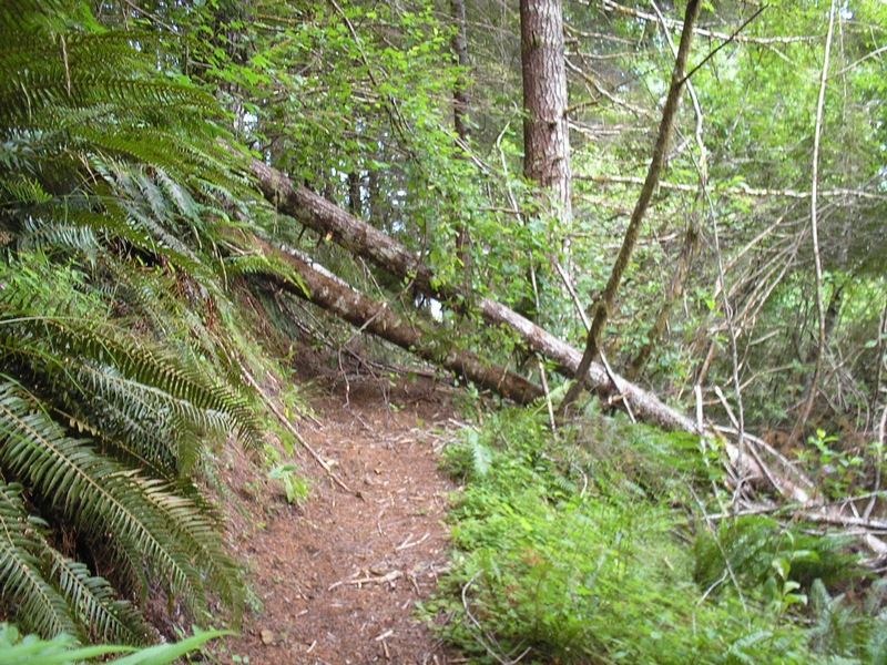
On my ride the trail was plagued with blow-outs and blow-down. I had to stop every 100 feet or so to carry my bike or drag it under a tree. At one point three trees had fallen down across the trail where the side hill was so steep that I could not work my way above or below. I had to push my bike under the first two and drag it over the third.
At 2.5 miles the constant ridge crossing ended and the trail followed the top of a ridge for a short way before descending.
A little further on and I came across a ribbon stretched across the trail. The ribbon had Danger repeatedly printed across it. I guess that there may have been a trail closure at the trail head I had skipped.
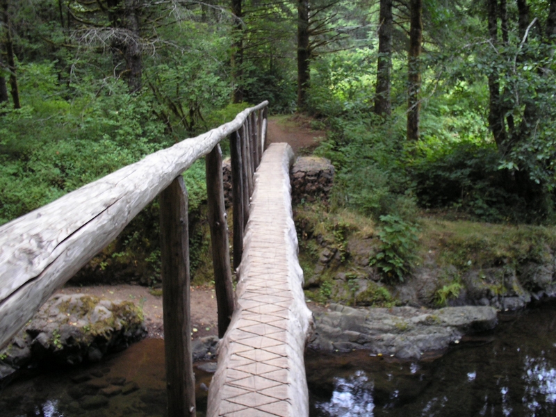
The descent was clear and fast. Nice single track with one blow-out that had been worked over and was easy to ride around. As I passed the blowout I could see a stream and a log bridge down in the valley below me.
After reaching the valley floor the trail turned up stream for a short ways and crossed over the bridge. Then a short climb a to a road.
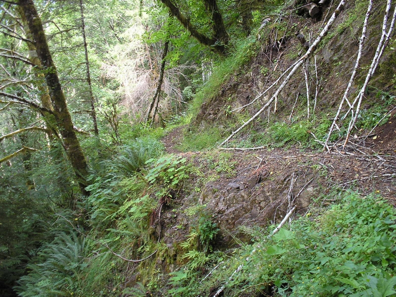
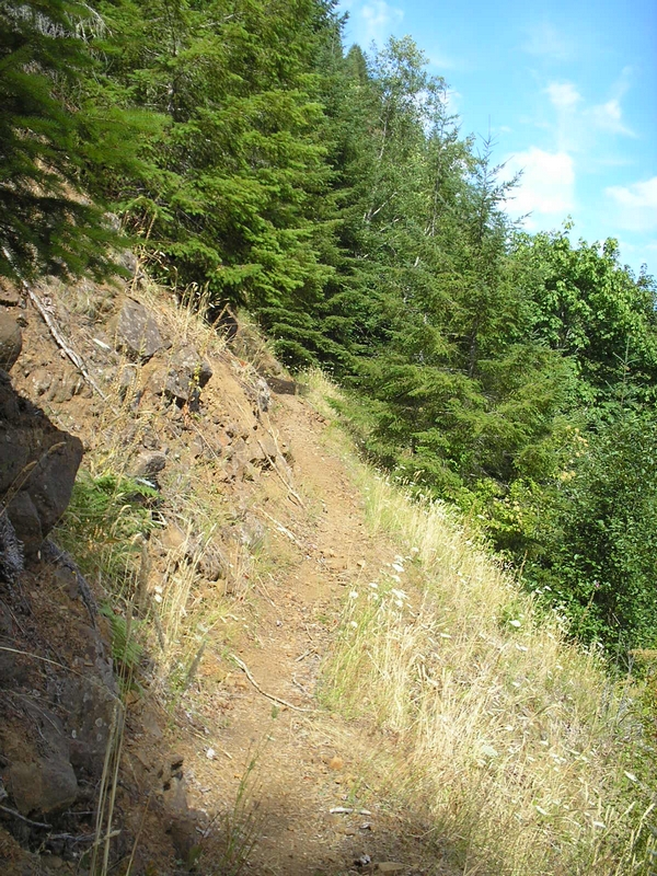
The trail resumed a hundred feet or so down the road. It climbed with a few switch backs over a ridge to emerge above the Wilson River. Where it traversed a lose rock face, I had to walk and carry my bike a few feet, with the river a couple of hundred feet below.
At the 4.5 mile point there is a junction, a spur trail leading off toward the west and to a bridge over the Wilson River at the Bridge Creek wayside.
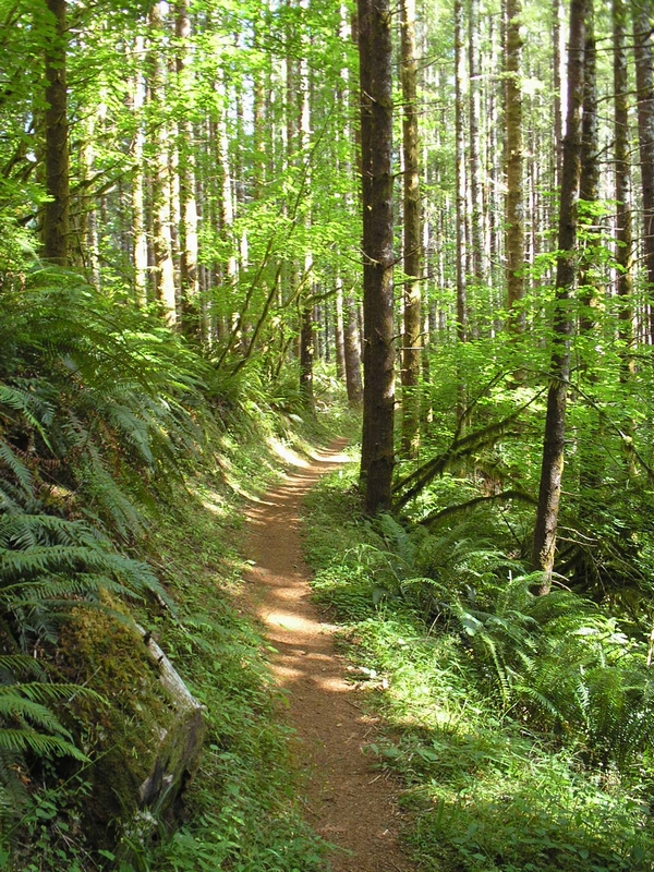
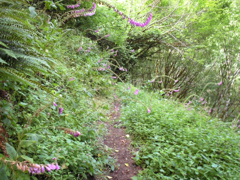
The trail was a thin ribbon running under a canopy of conifers with thick deep green foliage all around. Rising and falling as it paralleled the river. At one point I stopped and looked down at the trail to see the largest toad I have ever seen. It must have been 6 or 7 inches across. I gently nudged him with my foot and he begrudgingly hopped back into the dense undergrowth.
One more climb, the trail making switchbacks as I peddle toward the top of the ridge. Running close to the timber covered ridge the trail follows a line around and back across the face of the ridge. Some very sharp angles, hillsides, and rocky features along here. With one small creek flowing over the rock face to form Wilson Falls.
The last section of trail runs from Cedar Creek to the camping area at Jones Creek. It is flat along here, twisting and turning through the brush under the trees next to the Wilson River. A very good finish to this section of the trail.
I would suggest this last section as an out and back for anyone who is camping at Jones Creek that just wants to get a little ride in. I did the night before, along with the section of trail that runs east from Jones Creek over to the North Fork.