Tarbell Trail from Grouse Vista
Difficulty: Moderate to Difficult
Suggested Skill Level: Intermediate to Advanced
Trailhead longitude and latitude:45 43 24N, 122 16 15W
Google Trail Head Location
 Google Directions From Portland
Description of Ride:
Tarbell from Grosse VistaStarting at the parking area, the trail crosses road 1200. To the east is the Tarbell trail and the Silver Star trail heads. The Tarbell trail splits off after about a 1/10th of a mile. This first 1/10 of a mile is very steep and many will have to hike up with their bike.
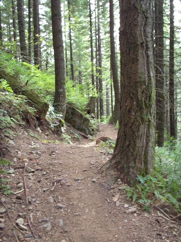
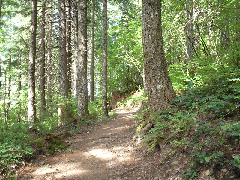
The trail runs for about 3/4 of a mile through a forest, with lots of up and down rolling hills. On the return trip, it is more apparent that the trail is actually climbing here, though it does not seem like it. I rode this section in low or mid ring gear and 3rd sprocket. Shifting between low and mid ring gear as required.
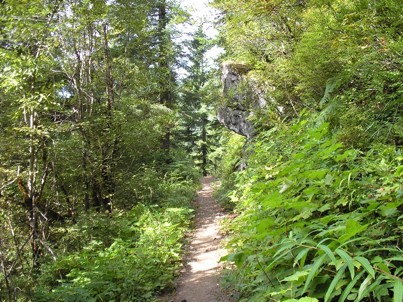
At about 3/4 mile, the trail breaks for a few hundred feet across a rock flow. Large sharply angular rocks, with the trail made up of smaller rock filling in the gaps. A very interesting section.
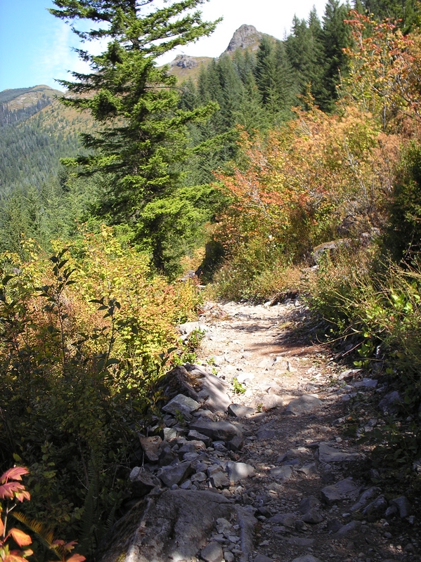
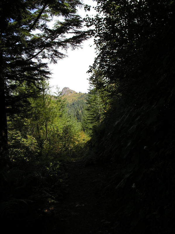
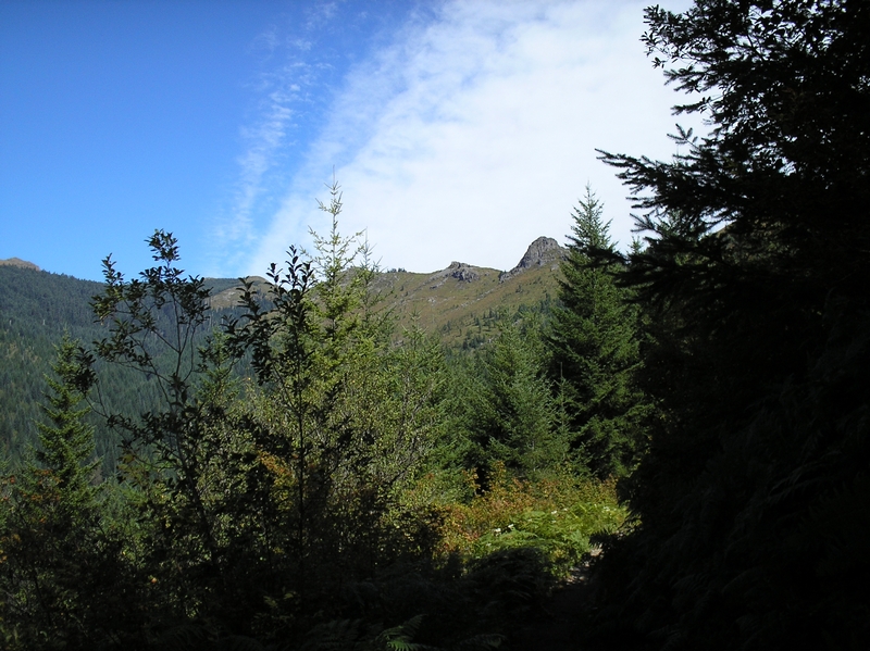
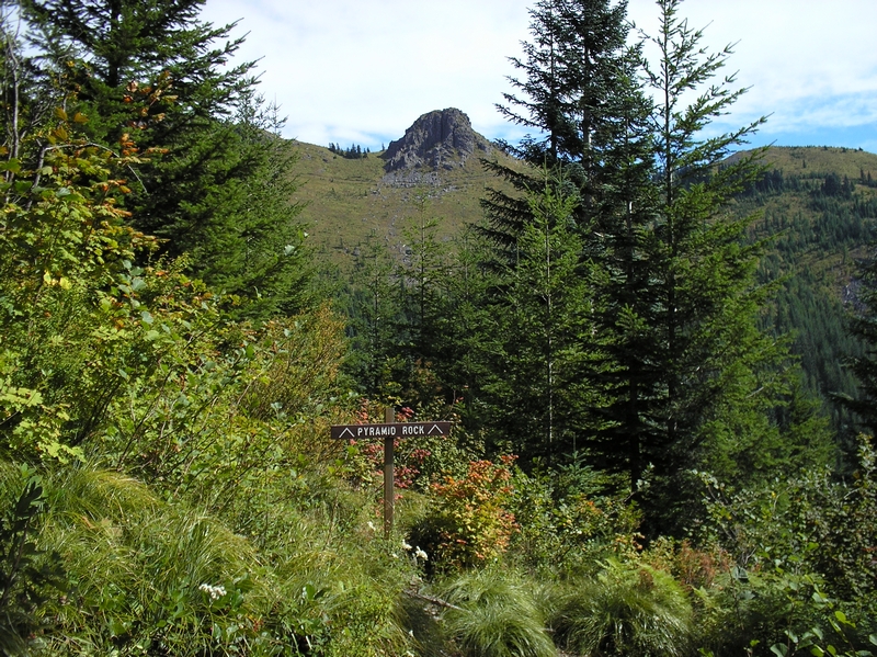
Continuing on through more forest and small open areas, there are views of both pyramid rock and another rocky outcropping that may be silver star. The trail crosses Rock Creek at 2 miles. There is a nice bridge here with a dedication placard next to it.
The trail now starts to climb. This is a rough section with at least seven switchbacks. The first one comes about a
1/2 mile after crossing the bridge. The trail turns back on itself here and a few hundred feet later switches back to the original coarse. There is another half mile before the next set of switchbacks. Climbing through a lot of low brush and traveling over rocky terrain. Then there are 4 more switchbacks all within a 1/2 mile section. I was able to make about 1/2 the turns, and had to dismount and walk around the other half. The same held true on the return trip. After that there is another long section before hitting one more switchback at about the three mile mark. Another 1/4 mile and there is a jeep road crossing the path.
This road as far as I can tell, has not been used for many years. It is like the trail to Silver Star, an old road that was used for access to minning operations
This jeep road is called Silver Road. If you go up it you can get to Silver Star and the Indian Pits. The trail crosses over the road and climbs just a little more until it crests and starts the descent to Coyote Creek and Hidden Falls. When I rode this the trees were marked for cutting and soon afterwards the area was closed while they harvested the trees. I have not ridden this section since the harvest but have heard the trail was partially destroyed or re-routed.