Eight Mile, Bottle Prairie, Knebal Springs Loop
Difficulty: Moderate to Advanced
Suggested Skill Level: Intermediate to Advanced
Trailhead longitude and latitude: 45 24 25N, 121 27 8.55W
Google Trail Head Location
 Google Directions From Portland
Description of Ride:
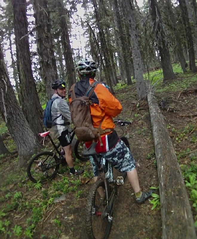
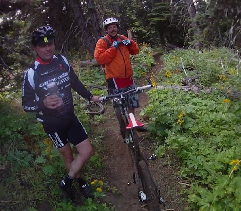
The Eight Mile, Bottle Prairie, and Knebal Springs rideSaturday 7/16/11
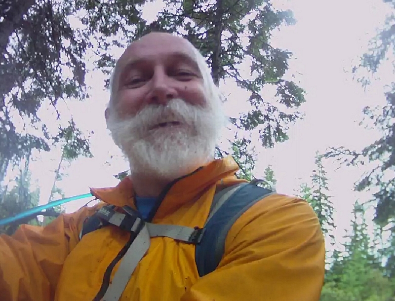
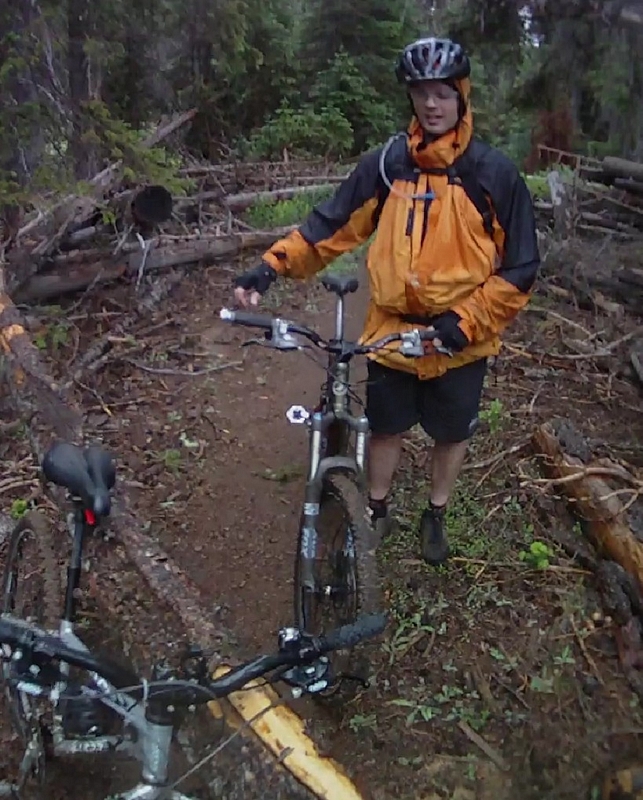
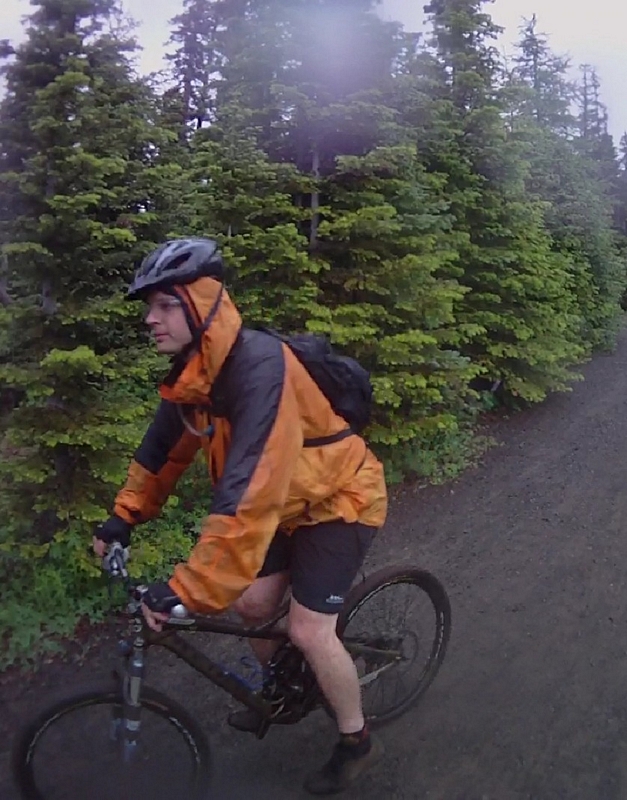
The alarm went off at 4:15AM, I had been laying there waiting for the alarm looking at the clock and doing a mentally inventory of the stuff I had packed up the night before. My feet hit the floor and I headed for the kitchen. I could hear the rain pounding down hard on the skylight above me as I made a bowl of oatmeal and sipped on some hot coffee.
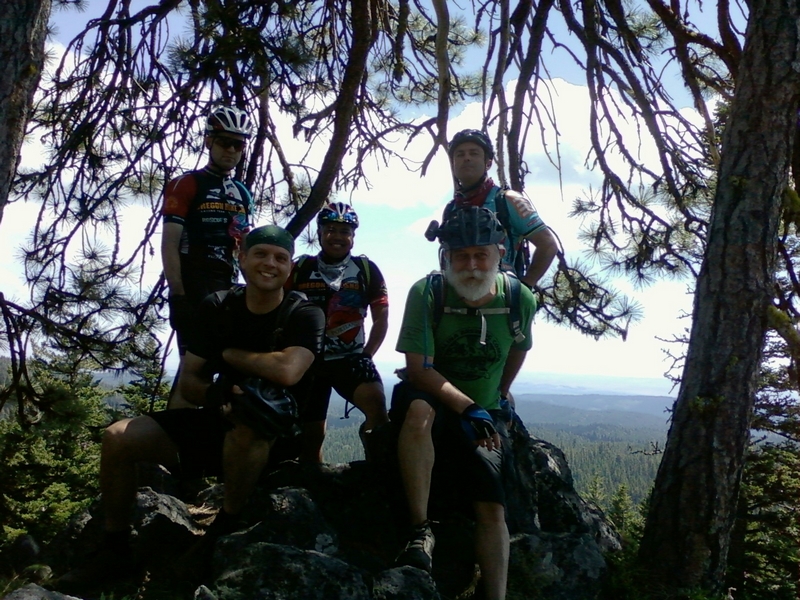
Just before five, I pulled into the park and ride and backed my car in next to Guy Smith.
We loaded into the Paul Norris's rig and hit the road to pick up Barry DeSemple before heading for Eight Mile.
The rain was persistent all the way through the Gorge, letting up just before we stopped at Starvation Creek for a bathroom break. There was one other car there. A guy sitting with his lights on, Barry pointed that out to him as we were leaving; Paul and Guy said he was probably looking for a bear. I was clueless.
More rain as we headed up highway 35 to take the forest road 44 over to Eight Mile Crossing campgrounds.
For most mountain bikers, this ride starts at the Eight Mile Crossing campgrounds. The trail head is located in the day use area and this is where we started our ride. The trail is also accessible from a location approximately three miles west on forest road #44.
Parking here requires a forest pass.
The trail starts by dropping a few feet to cross Eight Mile creek then starts a climb that will go on for the next three miles.
Just as the trail leaves the camp ground it crosses a paved forest road, a place to be cautious since the road does get limited traffic.
Shortly after the road crossing there is a trail junction. Eight Mile trail #459 is a loop trail and the junction is the start and finish of the loop.
The track to the right or north is most commonly the return route. The line switchbacks down a broad ridge.
The track that leads straight ahead follows the creek and is the route most riders use to gain elevation. I have ridden it both ways and my preference is to ride up the creek line.
The climb is a moderate grade do-able in a mid to low range sprocket gears and in some places even in the middle chain ring. Just before the trail junction there is a parking location that has an information board, which when we were there had very little information.
After 700 feet of elevation gain over three miles, the Eight Mile loop trail #459 junctions with the Knebal Springs trail #474.
The Knebal Springs trail starts off at about the same grade through a large clear cut area, the line very straight along here.
Crossing over a gravel road (FR230) the ascent increase to a low range gear combination with one section that will test your climbing abilities, just for the sheer angle of attack, a short climb that requires perfect balance for traction, power and stamina.
The climb is just over three quarters of a mile and gains another 350 feet.
The track levels off with virtually no elevation gain for the next two thirds of a mile. The track crosses a maturing clear cut, that on a clear day has great views of Mt Hood, and then flows into a nice forest ride on almost perfect single track.
Now the screaming begins. A descent that follows a well established trail. The line plummeting almost 500 feet over the next mile, with lots of fast steep descent.
Starting with a quick serpentine line gliding down through the trees until it hits some gravel for a short sprint. Then a strong turn downhill through a clear cut and back in to the forest. Flashing past timber and large downed trees the line mostly straight with a sprinkling of root drops.
The trail crosses gravel and returns to the downhill run just a few feet to the west.
The well established track continues through large timber and skirts a clear cut along a portion of the descent. This is classic cross country downhill on old trail, the kind of descent that forces you back over the rear wheel, breaking lightly, and has you switching the forward pedal to reduce the fatigue.
The trail hits a third gravel road with what looks like the trail continuing right across the road, but it does not. That line is the old trail, a good short run that will dump you on a well traveled gravel road, FR 1720. The old trail used about three miles of gravel to navigate between Knebal Springs campground and this trail. This is a very short trail so if you do hit the well established gravel road, it is just a short push back up the hill to get back on track.
There has been a new section of trail put in, a few hundred feet to the east. The new section, as I understand it, is called the Dakine trail. I was told by a reliable source that the sporting wear company in Hood River provided support for the development of this trail, hence the name. The trail, again through hearsay, was scouted and the management of the development was done by a forest ranger who was an avid mountain biker. This section of trail really reflects that fact.
This is a trail section, which in my opinion is best ridden in this direction. To use a term that is so over used, flow! This line has outstanding flow and will defiantly put a smile on the face of an experienced mountain biker.
The trail is a 600 foot descent over two miles with a slope of 4.5 to 5%. It is a crappy climb and a fantastic descent.
The track starts down through a nice section of large timber, plenty of well laid out curves and corners with slight banking.
The line breaks out of the timber and into an older clear cut, the Lupine along here was thick the day we rode. The track never returning to the timber, the trail crosses meadows and runs through thick brush.
The Dakine section of trail is a fast paced cruise that had my hands going numb and me switching my lead foot over and over on the fifteen minute fun ride.
The trail turns at the Knebal Springs camp grounds to head toward the south. The campground is not visible from the trail but is just a few hundred feet north.
Continuing on the track to the south the trail a much straighter line, the track a more familiar forest type trail, continuing into a steeper descent of 200 feet in a little less than half a mile to cross a creek and start the return climb.
The Knebal Springs trail climbs back up a steep grade for a 250 foot elevation gain over a half mile. This is a good place to regroup and take a short break on the edge of the forest along an old double track.
Another half mile of single track through the timber on a mild downward grade to a point where Knebal Springs Trail ends and the Bottle Prairie trail #455 begins.
The climb back up to the top begins here. The 850 foot climb over about two and a half miles commences. The line is a simple one with a moderate number of root drops to ascend but only one short section where the climb becomes very steep, steep enough that I could not sustain it and had to hike a bike for a couple of minutes.
Other than a couple of old clear cuts that have transformed into meadows, with wild grasses and flowers growing across their expanse. The trail runs though forest for almost its entire length, large timber with a well developed understory.
At the top of the climb, the trail runs along the edge of a meadow and starts a fast descent that is interrupted by a short side trip to Perry Point.
The Perry Point trail is a walking departure that is well worth the few minutes it takes. A trip out to a rock outcropping that has an expansive view to the east, Wasco County.
The sound of disk brakes could be heard far below us as we sat on the rocks looking over the view towards Dufur Oregon.
Back on the trail, it is just a few hundred feet down to the junction with Eight Mile Loop trail.
We turned onto the track and started off at a gentle pace, each of us just a few feet apart for about the first sixty seconds. The trail slopes downward and the pace quickens as the distance between us expands, then just as quickly the distance compresses as we start a short climb, to finally break around to the front of the ridge line where we bust into a full on descent.
We ripped down the trail, hitting small root drops with a light touch on the breaks coming into the corners looking for the best line around the chattering track which is made up of the lumps and bumps created by out of control breaking.
The trail leveling off just a little as it passes by some log rides. Three logs all linked together in such a fashion as to let you ride on one end and move from one to the next, then off the end and back onto the trail.
Hammering on down the line through the woods until it drops across a gravel road.
The trail crosses an alpine meadow like area. Studded here and there with rocks as yet another ascent starts.
The climb returns to the trees, an easy three percent grade has us back into the line and pacing the lead rider.
The steepness of the side hill exposed as we leave the confines of the timbered hill side and cross an open face to negotiate some small rock gardens of sharp angular lava rocks. Then pass by a rock outcropping that extends its reach across the trail to present more technical features.
The view off the exposed hillside pulling my eyes away from the line for short glimpses of the cloudy horizon that hangs over the timber covered mountains and valleys for as far as I can see.
The trail reaches the fire watch tower junction. A short side trip through the low brush and wild flowers to the fire watch, it is no longer in use but can be rented at $50.00 per night from the US Forest Service.
Just a note: The Forest Service books through a 6 month window and the place is booked up for the full 6 months except for a few week days in late November and December.
Once around the fire watch, which has someone staying in it, then we blast back down the trail to hit the main line. My riding companions rocketing down the track in anticipation of the extended downhill run back to the trail head, like a couple of mules within sight of the barn. The track will descend 730 feet over the next 1.5 miles.
The trail continues across the top of the rocky ridge, complimented with numerous small rock gardens passing over a sharp and narrow ridge line of rock then crossing a wide meadow filled with tall grass and blooming flowers.
A tall timber stand rises from the hillside straight ahead. The line breaks over the edge and turns into the timber and starts to descend.
It is a fast paced descent across a steep hillside, hitting banked corners that have good approach and exit with a minimal dampening effect on the speed of the descent. The track today is exceptional because of the wet weather we had earlier. The corners hold up well and there is no wash out.
Winding down the hill as the switchbacks get closer and closer together until the trail turns into a weaving track that ends on a small rock garden, turning to run a few feet and end where we started. Approximately 17 miles and 3000 feet of climbing.